


The OHT is a 285-mile National Recreation Trail that stretches across one of Arkansas’ most scenic regions, the Ozark Plateau. Our three-part topographic Backcountry Maps, Thru-Hiker Series, covers it in dramatic detail from the highest, rugged ridges in the west to gently rolling hills in the north. These three maps are the only recreationally focused topographic maps of the Ozark National Forest in Arkansas. No matter what section of the OHT you want to hike, or which part of the forest you want to explore, these maps will get you there, beautifully.
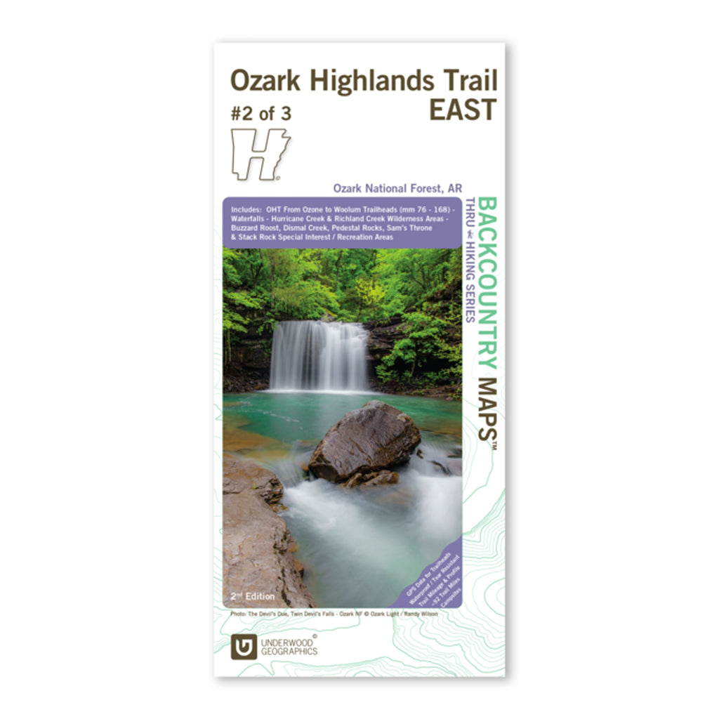
Ozark Highlands Trail East, Map 2 of 3 (2nd Edition)
Looking for a little seclusion on your hike? Then this is the perfect blaze for you. Covering approximately 92 trail miles through one of the most remote sections of the OHT from Ozone to Woolum Campgrounds, this traill dissects Hurricane Creek Wilderness area and circumvents Richland Creek Wilderness Area.
A majority of the trail in this region “levels” out and tends to follow along streams within the Big Piney or Richland Creek watersheds rather than climbing high ridgelines. The map can also guide you to recreational opportunities in Ozark National Forest’s Special Interest Areas like Buzzard Roost, Dismal Creek, Pedestal Rocks, Sam’s Throne, and Stack Rock.
Details
Duplexed map printed on 4.2 mil HopSyn waterproof/tearproof paper that includes GPS data for trailheads, trail mileage, trail profiles, campsites, scenic views, points of interest, waterfalls, geology of the area, and much, much more.
Size: 38.25” x 25.75”, Folding to 4.25” x 9.25”
Scale: 1:37,500


